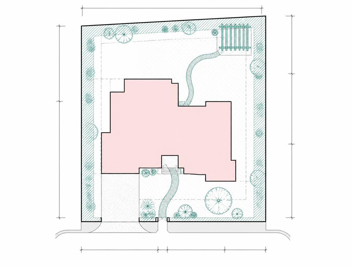
Enter any US address and the Site Plan Agent maps the property — boundaries, structures, setbacks, vegetation, topography. Your design base, ready before you've made a single decision.
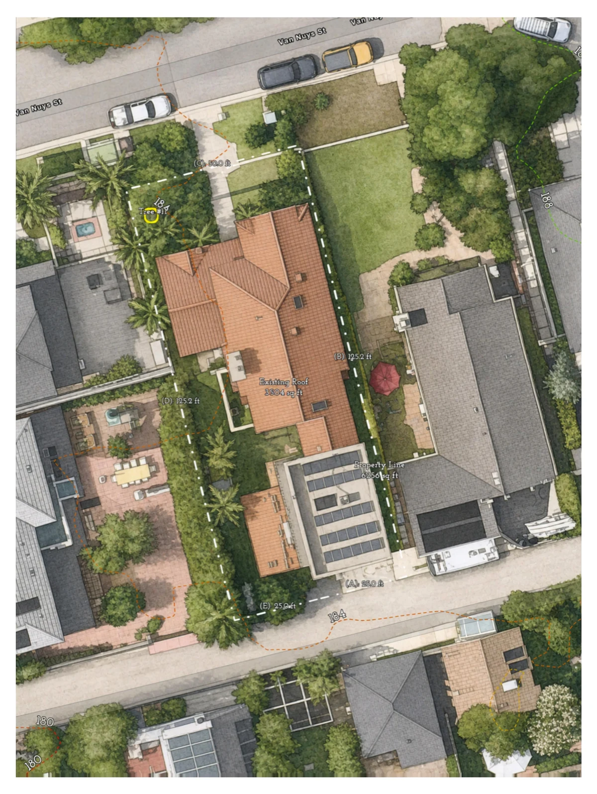
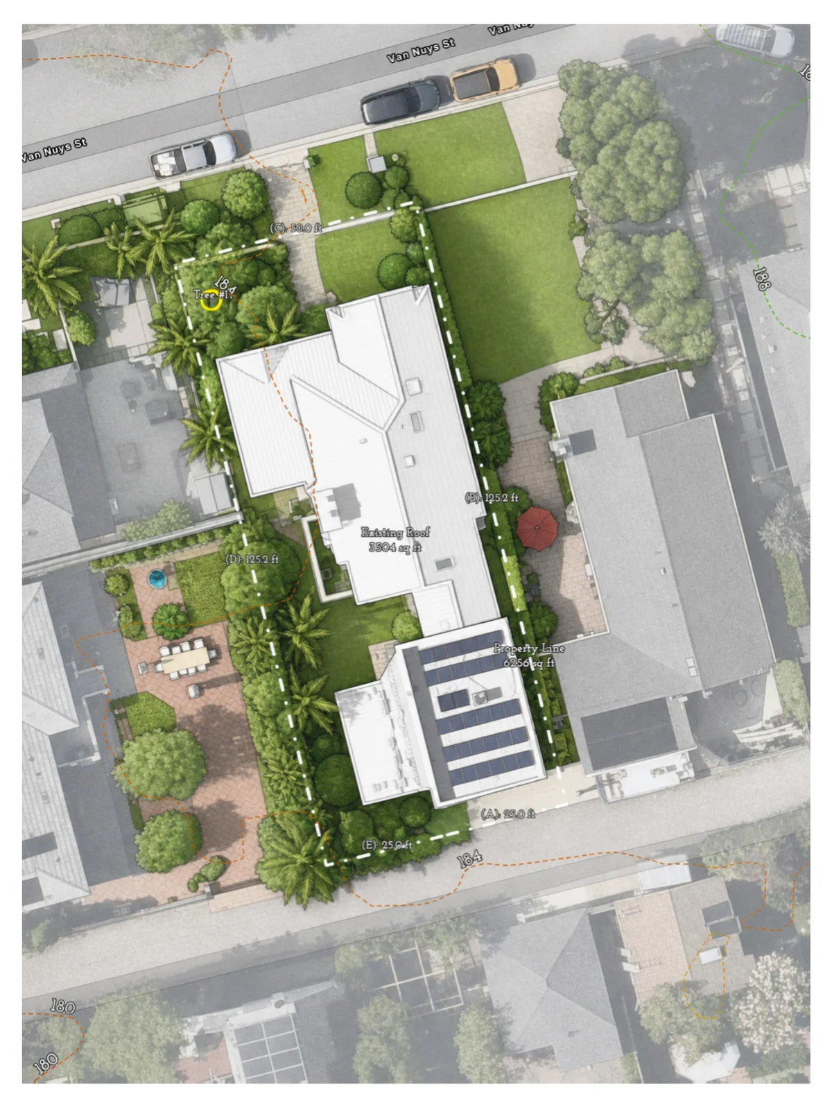
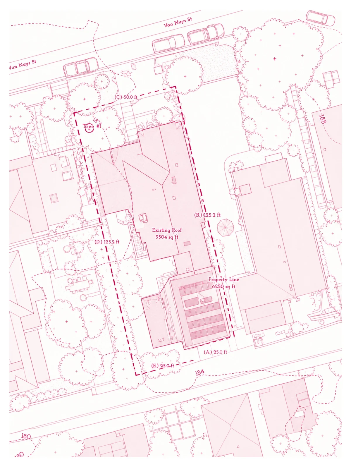
Parcel boundary, dimensions and existing roof measured on the aerial base.
Every US jurisdiction covered
Of aerial history per property
Per property, distilled to what matters
Aerial imagery updated
DXF, SVG, PDF and more
Working off a Google Maps screenshot or a hand sketch — until a survey comes back weeks later.
You walk in with a portfolio. The client wants to see their property. Nothing site-specific to show.
Setback violations, coverage limits, structures in the wrong place — discovered after design time is already spent.
$2,000–$5,000 and 2–4 weeks before design can start.
The Site Plan Agent maps boundaries, structures, setbacks, and vegetation the moment you enter an address.
Run the address before the meeting. Arrive with the site mapped, constraints known, concept on the parcel.
Setbacks, FAR, height limits pulled before you sketch a single line. No surprises late in process.
Impresarios design directly on the site plan — on their actual site, not a generic inspiration board.
How designers use InQI
Aerial & Site Intelligence
Every property comes with up to 12 years of high-resolution aerial imagery, updated 4 times a year — see how the site has changed over time, how vegetation has grown, what was there before.
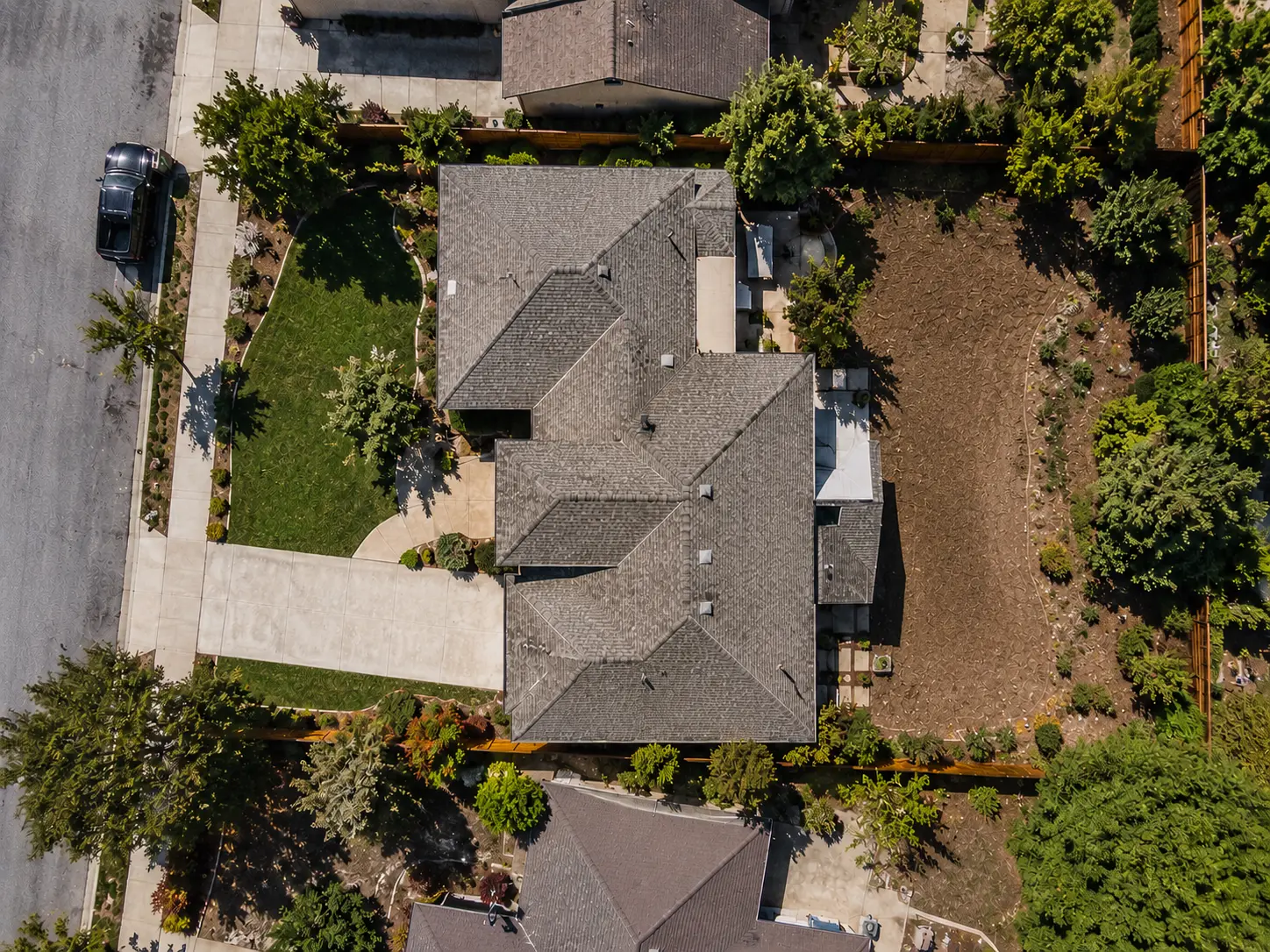
12 years of history available
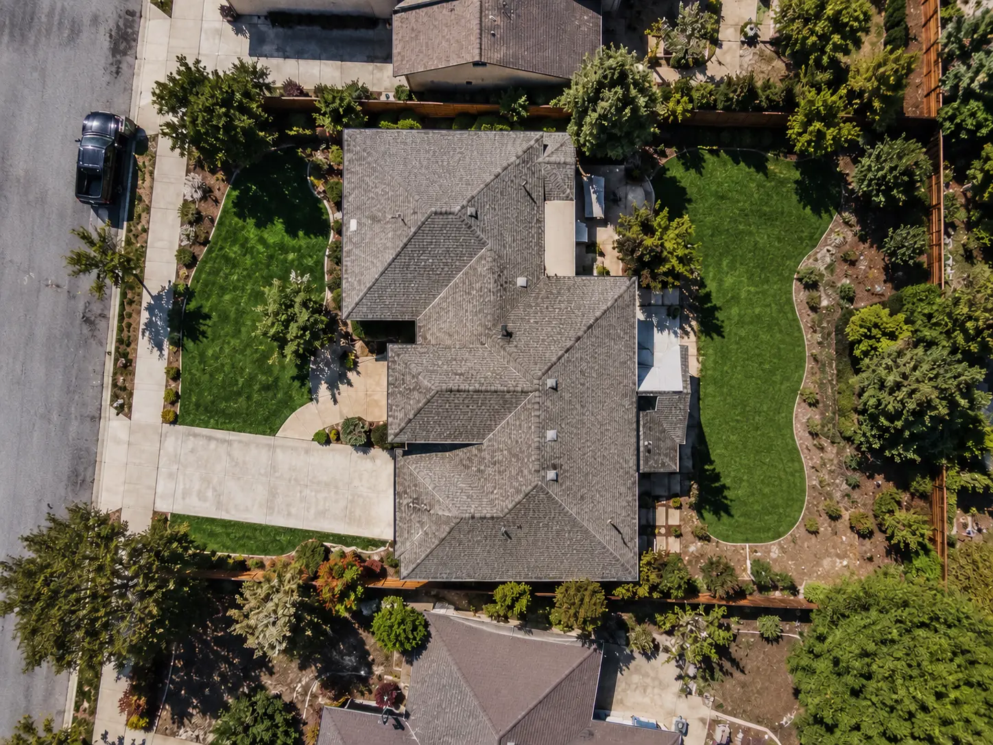
Updated every quarter
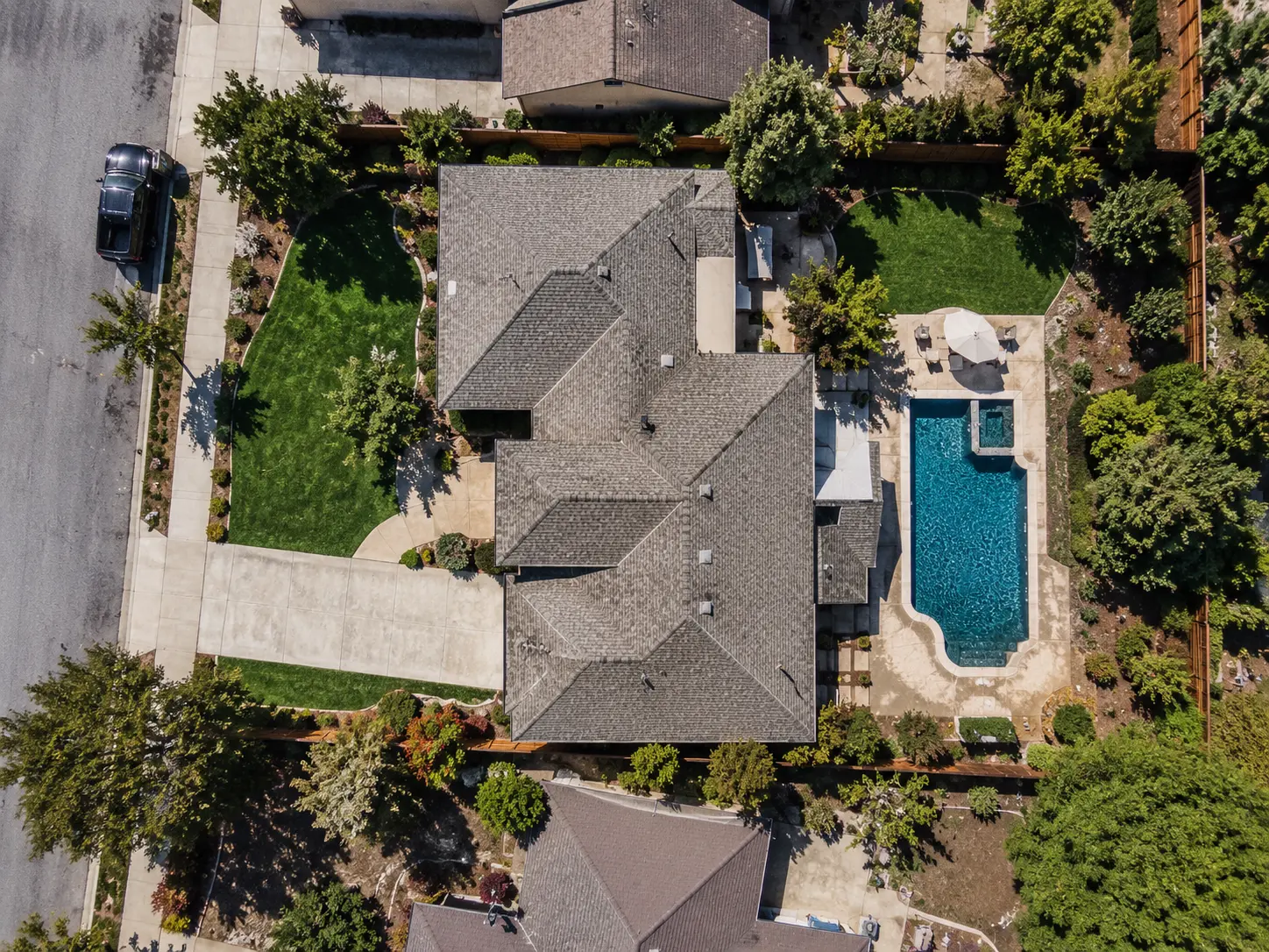
Current site conditions
See how the property looked years before your project — vegetation changes, previous structures, site evolution over time.
Imagery stays current — always working from the latest available view of the site.
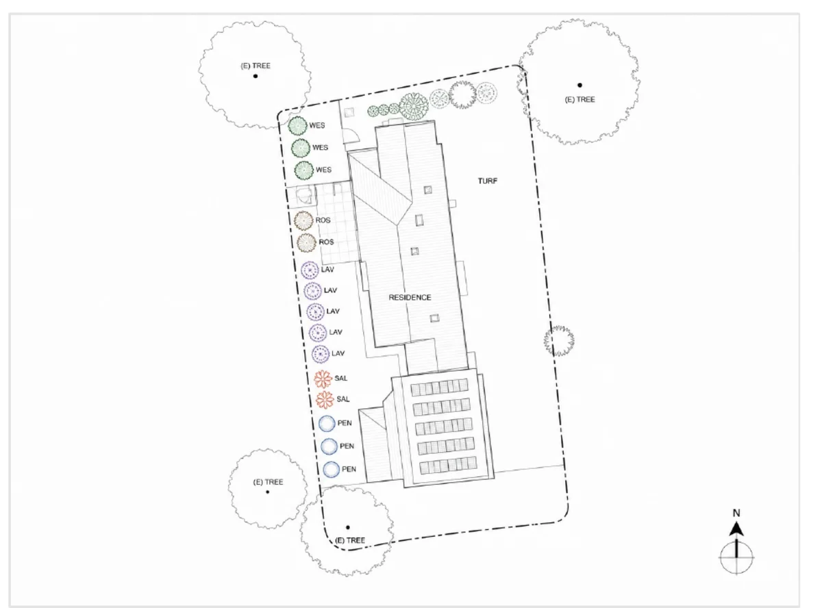
Describe what you want in plain language. Impresarios place it on the real site plan — at scale, on the actual property.
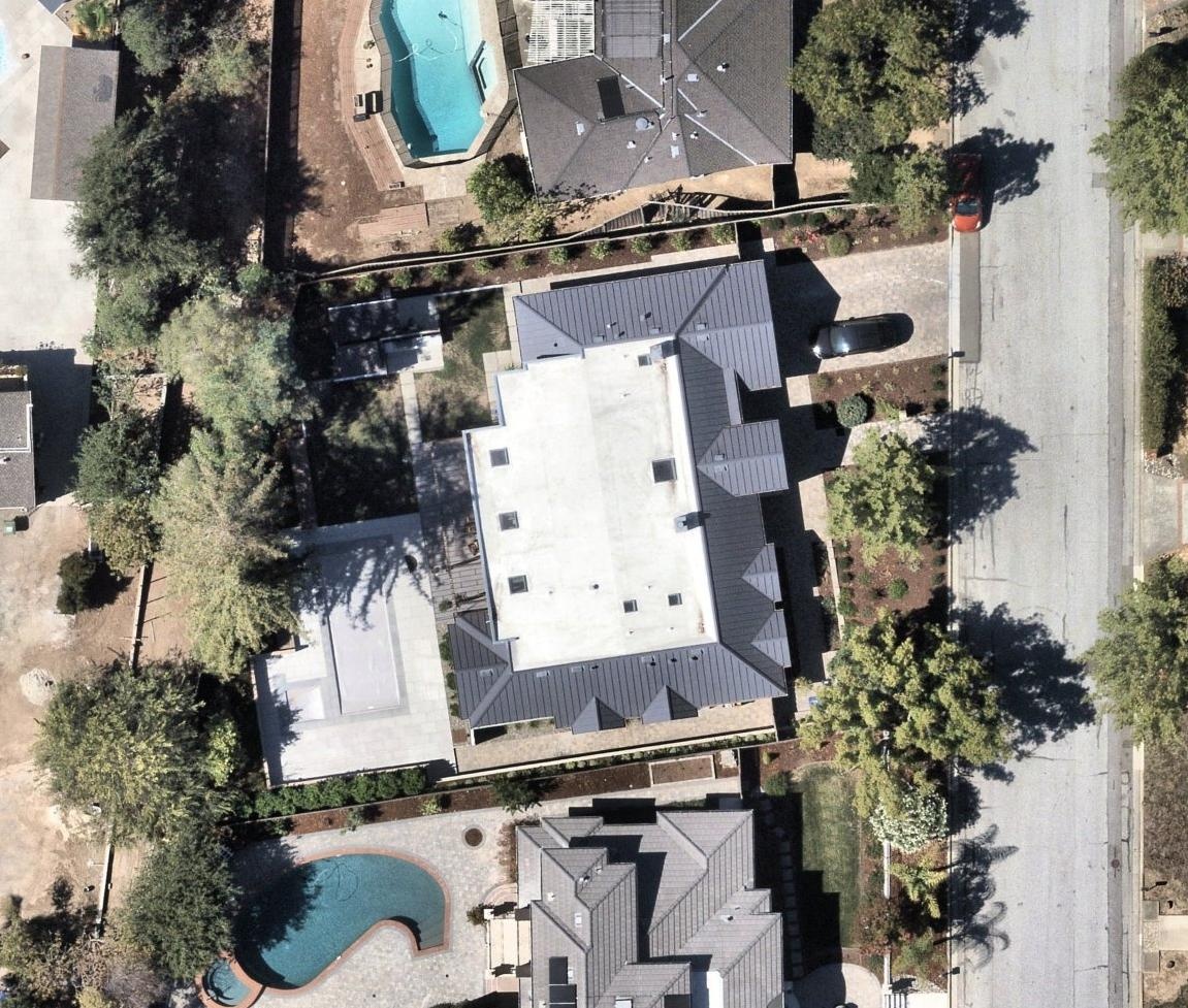
Knowledge sources
Field knowledge capture
Every photo, annotation, and field note captured on site is GPS-tagged to the exact location and synced to your project the moment you reconnect.
Field captures

East boundary — existing hedge 8ft
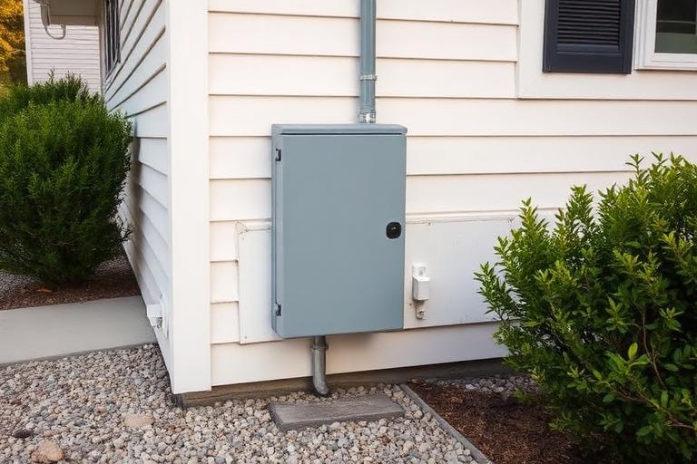
Utility box location — NW corner
110 University Dr, Palo Alto, CA
Syncing to project...
GPS-tagged to the exact spot
Every photo is tagged to its precise location on the site — not just the address, but exactly where on the parcel you captured it.
Works with no signal
Capture photos, notes, and annotations on site even without internet. Everything syncs automatically when you reconnect.
Syncs to your project instantly
Field captures land in your InQI project tied to the address — ready to reference alongside your site plan and design.
Share with your team
Field captures are visible to everyone on the project — your team sees what you saw on site, exactly where you saw it, without needing to be there.


Works with your tools
AutoCAD
DXF
SketchUp
DXF
Rhino
DXF / SVG
Illustrator
SVG
Adobe PDF
The site plan arrives with boundaries, structures, setbacks, and measurements already placed. Open it in your tool and keep working.
Who it's for
From residential gardens to commercial sites — run any address and have the property mapped, constrained, and ready for planting design before the first site visit.
Context is everything. The Site Plan Agent gives you parcel boundaries, surrounding structures, and zoning data for any US address — the full picture before you start.
Design additions, outdoor structures, and site improvements within real setbacks and code constraints — pulled automatically from the address before you draw a single line.
Start by running the property address — the Site Plan Agent maps the parcel, structures, setbacks, and vegetation instantly. From there, the Codes.IQ Agent pulls what's allowed on the site, Impresarios let you design directly on the parcel, and the Estimate.IQ Agent prices it — all before you open your design software.
Start by running the property address — the Site Plan Agent maps the parcel, structures, setbacks, and vegetation instantly. From there, the Codes.IQ Agent pulls what's allowed on the site, Impresarios let you design directly on the parcel, and the Estimate.IQ Agent prices it — all before you open your design software.
Run it. The Site Plan Agent maps the property. The Codes.IQ Agent pulls the rules. Impresarios design on the parcel. All before you open a single tool.