
Know if the job is worth your time before you drive out
Run the address, get parcel boundaries, setbacks, zoning rules, and lot coverage in under a minute. Qualify the project — or pass on it — before anyone wastes an afternoon.
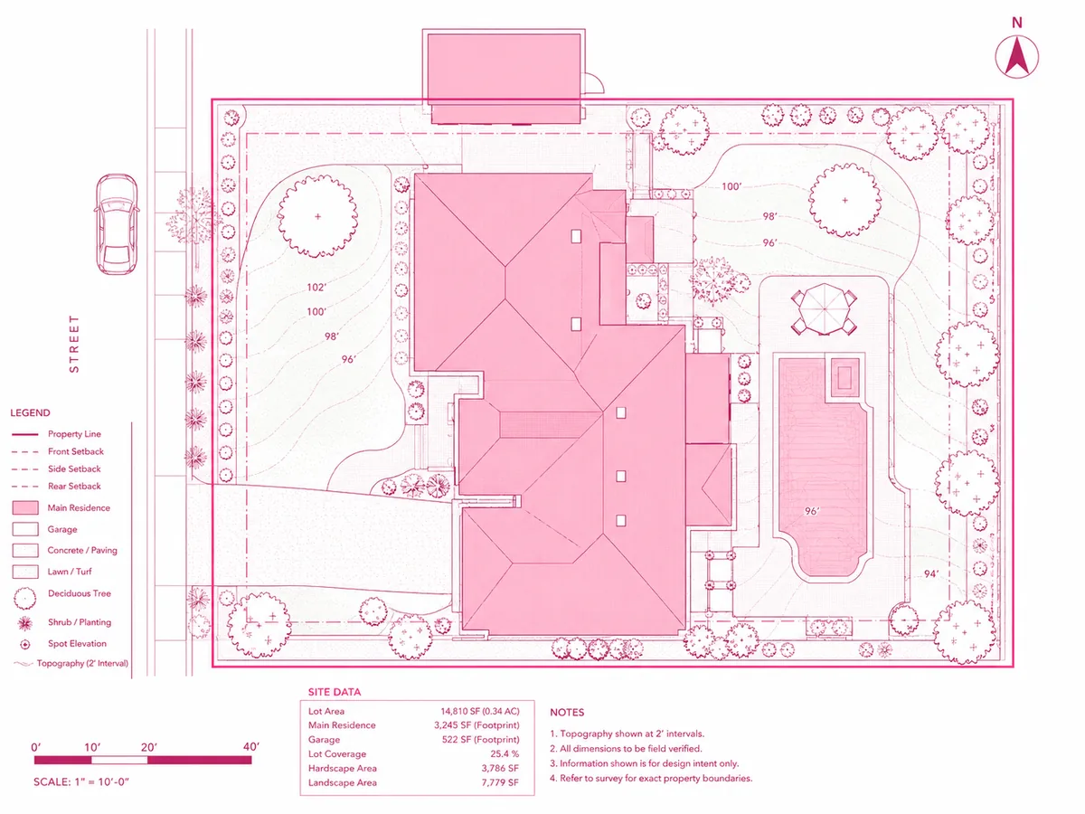
InQI generates a scaled, editable site plan from any US address or APN — with parcel boundaries, detected existing features, terrain context and aerial imagery. Run it in minutes. Export as PDF, DXF, SVG or aerial image.
Nationwide coverage. Data depth and precision vary by source and county.
Run an address free →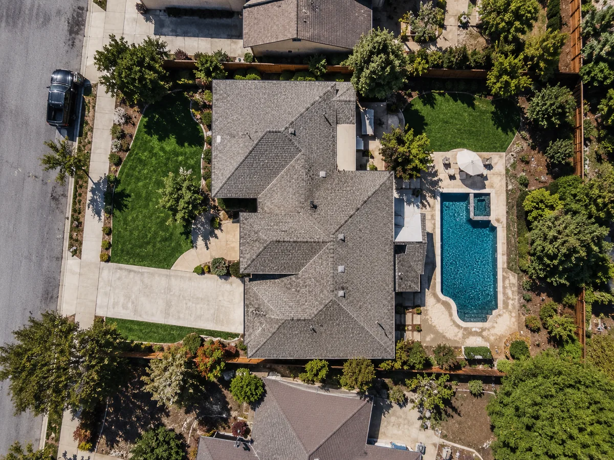
Accelerate feasibility studies and optimize zoning compliance with high-fidelity generative site intelligence.
Visualize your dream project on your specific lot. See possibilities and costs before you hire a full team.
Site plan, codes, costs, aerial view, 3D, field capture, and AI — all from one address search.
Here's how people actually use InQI once they stop running it just for site plans.
Run the address, get parcel boundaries, setbacks, zoning rules, and lot coverage in under a minute. Qualify the project — or pass on it — before anyone wastes an afternoon.
Aerial imagery, topography, building footprints, and dimensional data for any US property — pulled instantly. Walk onto the site already knowing it.
Include a scaled site plan and an AI-generated Impresarios design in your proposal. Clients who can see the project on their actual lot sign faster.
Run the address, check what zoning allows, see the buildable area, then prompt Impresarios to place an ADU or addition directly on the site. Show the client what's possible before hiring a designer.
From a backyard ADU to a commercial site — the ones who move fastest run the address first.
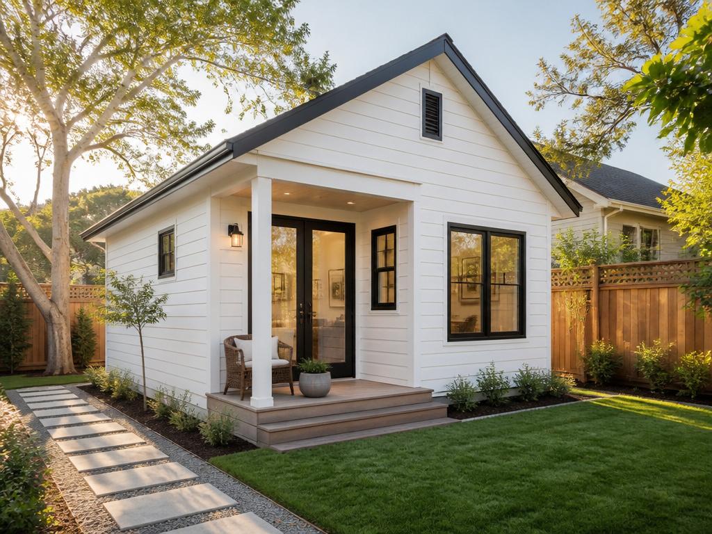
Most people spend weeks figuring out if an ADU even fits. Enter the address and see the buildable area, zoning limits, and a concept on the lot — same session.
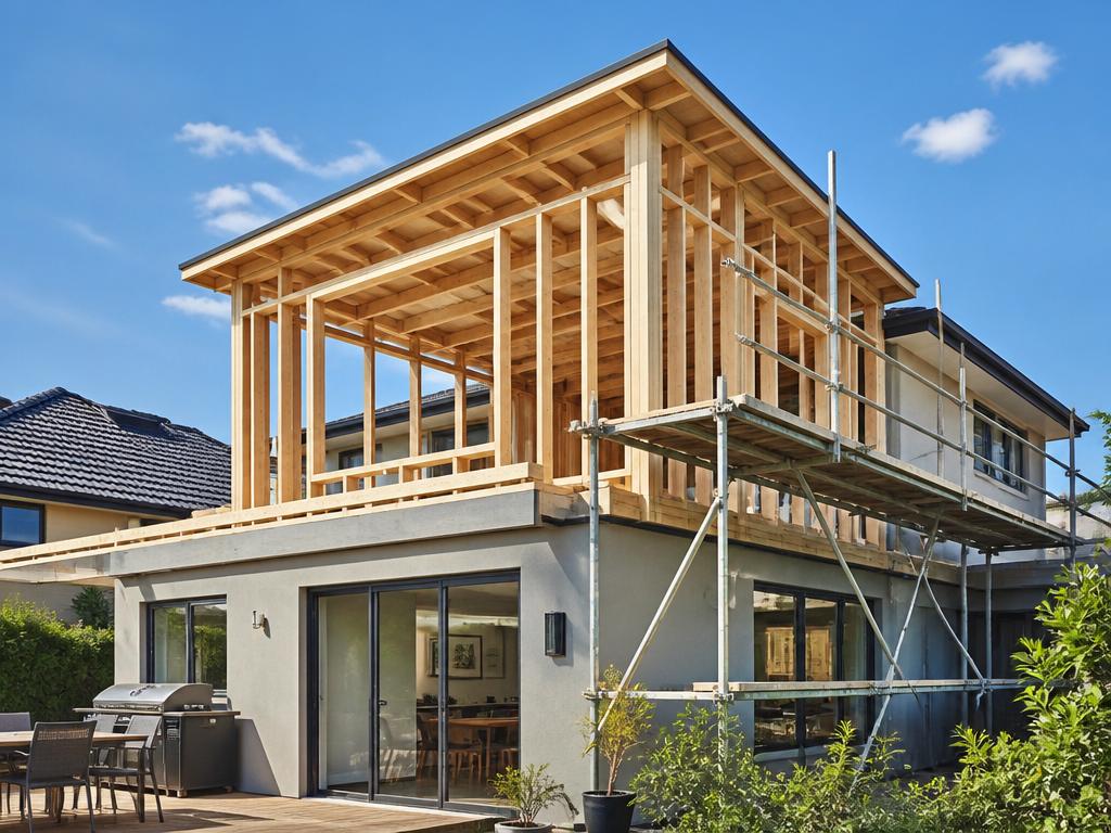
Skip the surveyor for the first pass. Get the existing footprint, setbacks, and whether the addition triggers a full permit review — before anyone is hired.
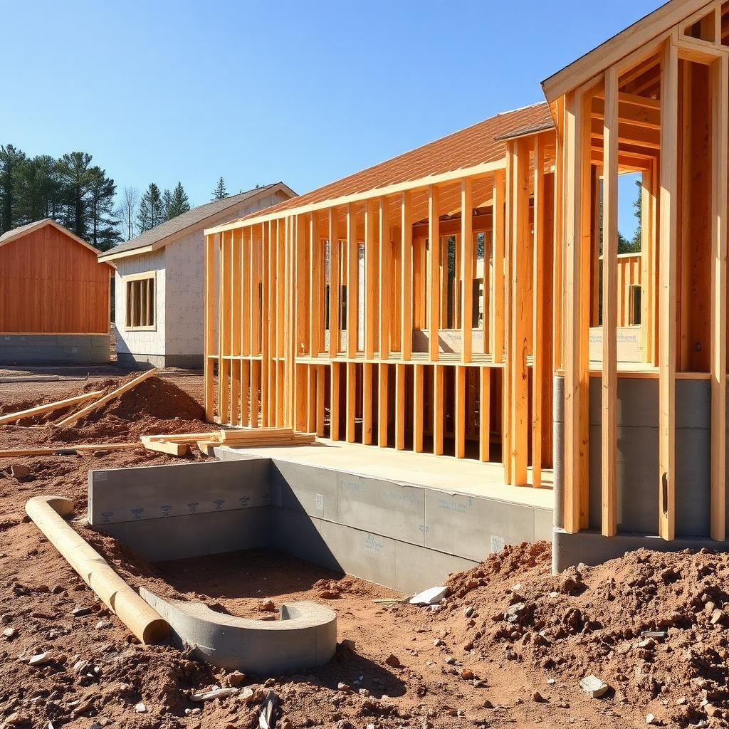
Walk onto a raw lot already knowing it. Terrain, boundaries, vegetation, and lot coverage mapped from high-resolution aerial before the first site visit.
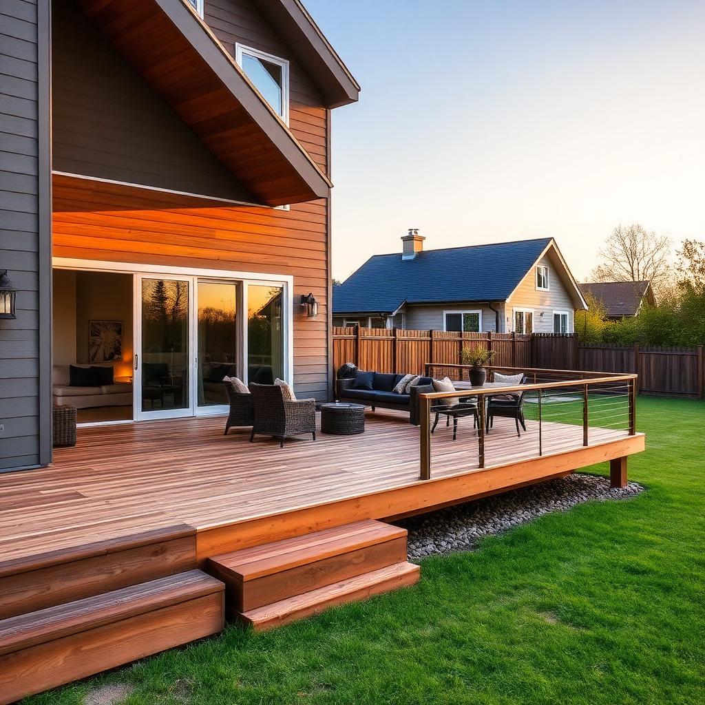
Most deck mistakes happen because nobody checked the setbacks first. Get the exact lines, lot coverage remaining, and a scaled drawing — before a contractor quotes it.
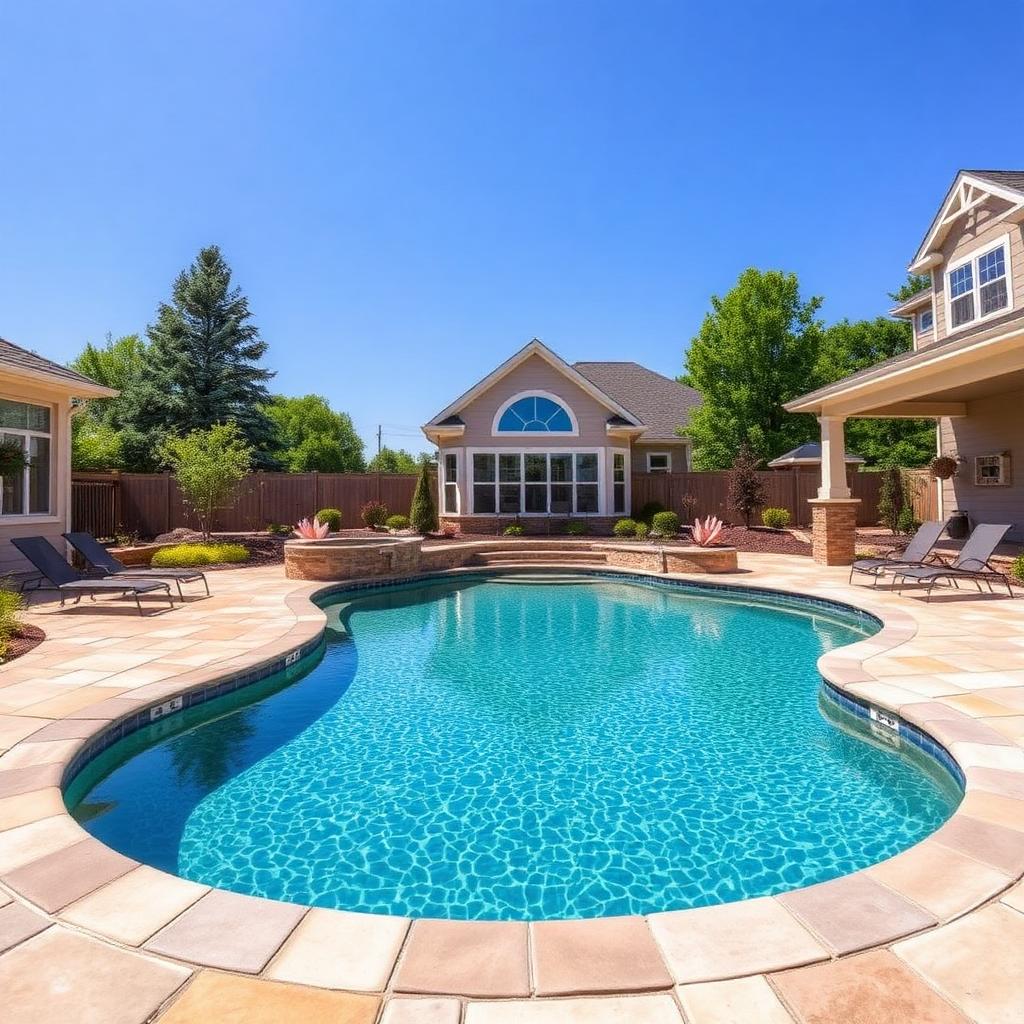
Pool permits get rejected when equipment placement violates setbacks. See the full lot with existing paving and clearances from high-resolution aerial before anything is submitted.
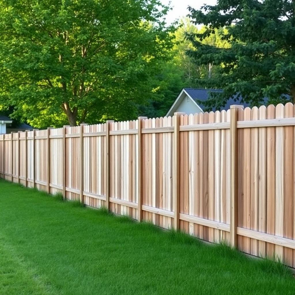
Neighbor disputes start with assumptions. Get the legal lot line from county records — not a guess from Google Maps.
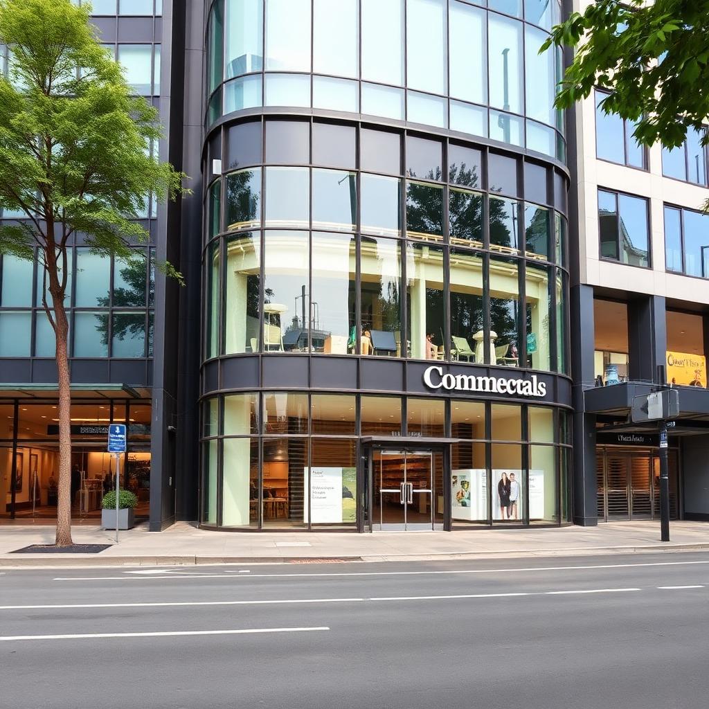
Zoning, FAR, parking minimums, and permitted uses for any US commercial address — without calling the planning department.
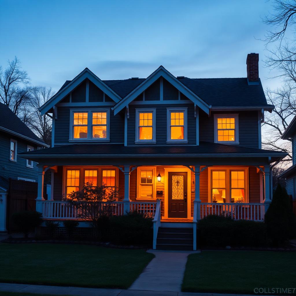
STR rules vary block by block. Know the parking requirements, owner-occupancy rules, and permit thresholds for the specific address before you buy.
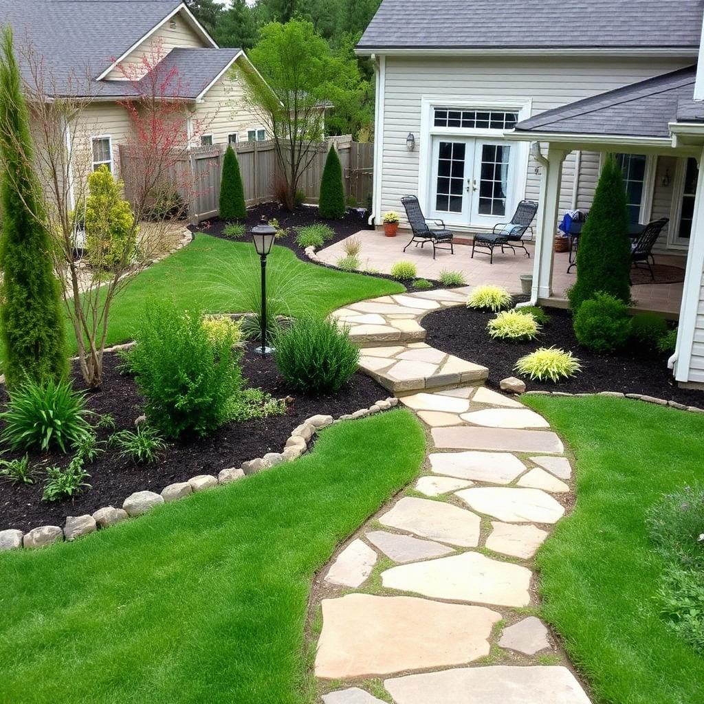
Landscaping quotes go sideways when usable area is wrong. Get trees, paving, and lot coverage mapped from high-resolution aerial before the design conversation starts.
Three sheets generated for a single address. Each is a review-ready draft designed for feasibility, schematic design and permit preparation — not a boundary survey.
19400 Homestead Rd
Scaled parcel geometry from available source data, with structures and setback lines.
View PDF →19400 Homestead Rd
Site linework with dimensions and measured areas for feasibility review.
View PDF →19400 Homestead Rd
Annotated sheet prepared for schematic design and permit preparation.
View PDF →Every address triggers up to 2.2M raw data points — distilled into verified property intelligence the second you search.
Parcel boundaries & lot lines
Legal boundaries & ownership
Up to 10 years, 4× yearly updates
Elevation & terrain contours
~500 facts is day one. Every upload and analysis compounds on top.
InQuest AI
InQuest isn't a chatbot. It's a project-aware agent that already knows your parcel boundaries, zoning rules, setbacks, lot coverage, and site plan before you ask your first question. Every address you run becomes a living context — the more you add, the sharper it gets.
Not search. Not links. Answers — grounded in your actual property data.
Sign up for free →COMPARE
Compare before you decide.
| InQI | Other online services | Traditional | |
|---|---|---|---|
| THE BASICS | |||
| Turnaround | Under 60 seconds | 10 min to 24 hours | 1–3 weeks |
| Cost | From $29/mo | $89–$259 per plan | $500–$2,000+ per plan |
| WHAT'S IN THE PLAN | |||
| Setbacks & property lines | Auto-loaded, every plan | Depends on the plan tier | You look them up |
| High-resolution aerial | Included, exportable | Some include it | Not included |
| Topography | Up to 168K elevation points | Higher tiers only | Extra field work |
| CAD / DXF export | Foundation & InSight plans | Top tier only ($259+) | Delivered as CAD |
| ONLY ON INQI | |||
| Building codes compliance | Height, FAR, coverage, permitted uses | ||
| AI cost estimate | Built in | ||
| 3D viewer | Built in | Separate, from $237 | |
| AI property assistant | Ask anything | ||
| Impresarios workflows | Describe it, see it | Hire separately | |
| Project binders | Plans, docs & photos by address | ||
| Mobile app | iOS & Android | ||
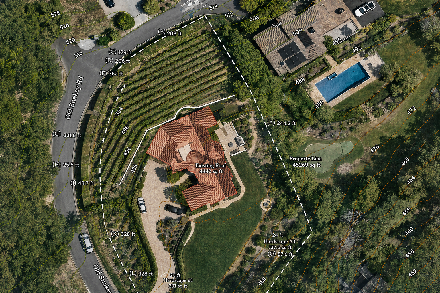 Site AnalysisAerial + parcel boundary · 45,269 sq ft
I used to spend two hours on site research before every client meeting. Now I run the address on the way to the call.
— Documented pilot result — methodology available on request
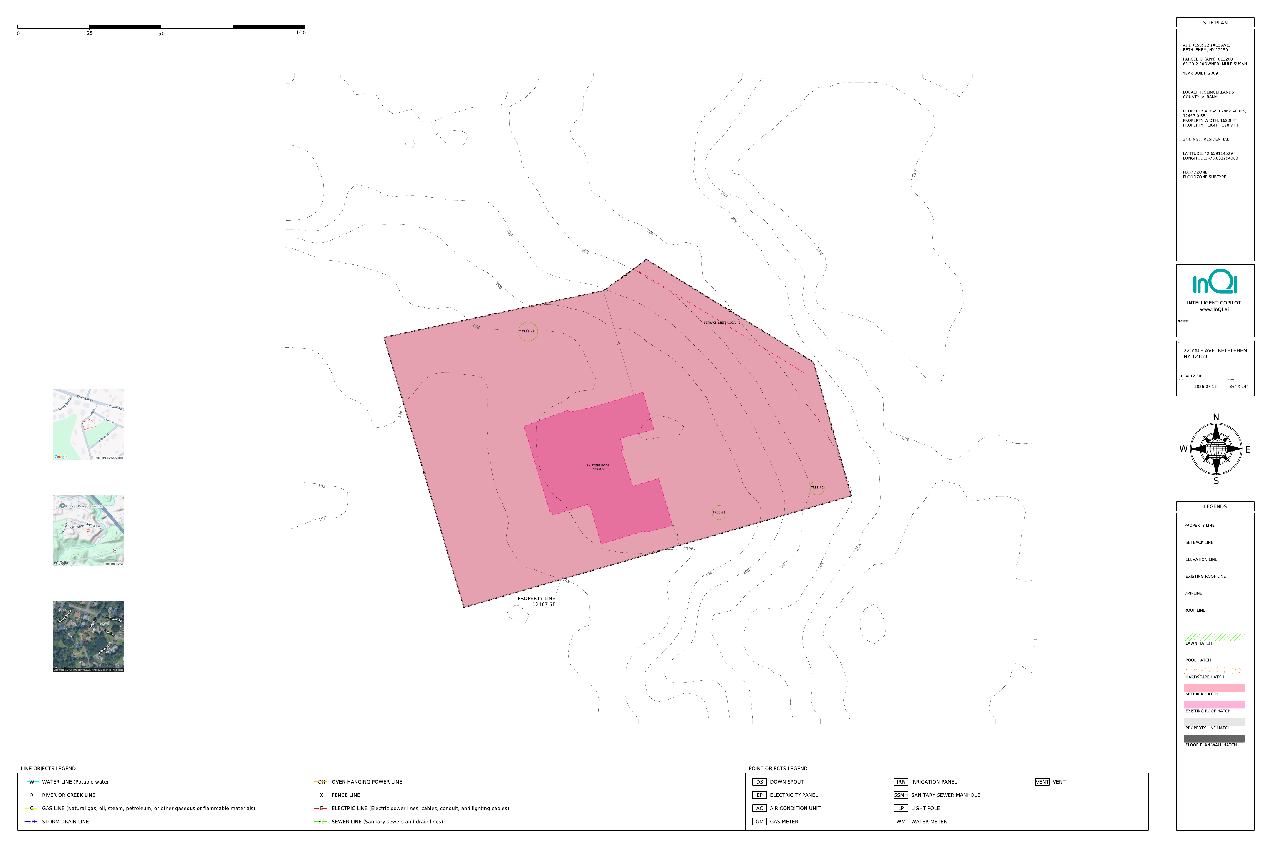 Site PlanScaled site plan · ARCH-D export
InQI gave me a site plan, setbacks, and a cost estimate in the same session. My client approved the scope that afternoon.
— Documented pilot result — methodology available on request
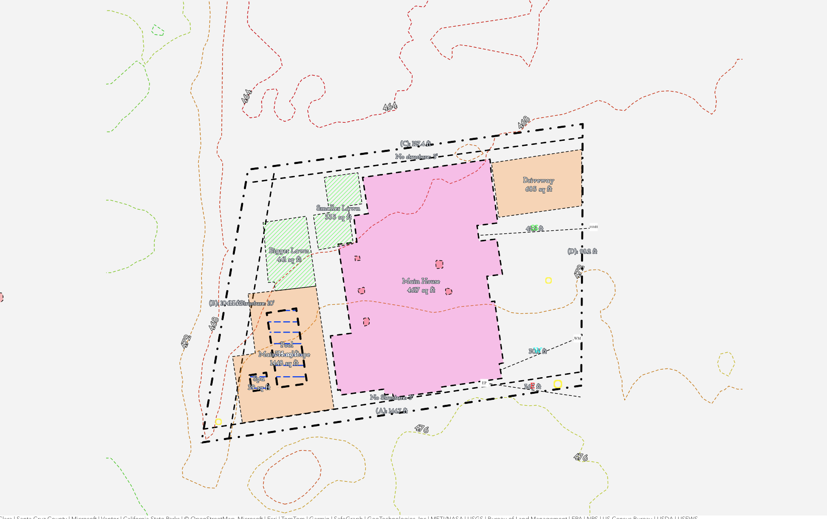 Zoning + CoverageStructures, hardscape & lot coverage
I had no idea what I was allowed to build on my lot. InQI showed me the boundaries, the zoning rules, and what an ADU would cost — before I called a single professional.
— Documented pilot result — methodology available on request
SetbacksProperty boundary · dimensions A–OThe setback and coverage answers alone saved me a week of back-and-forth with the city. This is the tool I wish I had five years ago.
— Documented pilot result — methodology available on request
ExportsReady to export · PDF · DXF · SVGI ran three addresses back-to-back during a client call and walked away with signed scopes on all three.
— Documented pilot result — methodology available on request
InQI site plans are scaled, editable and based on available parcel, imagery and elevation sources. They support feasibility, early design and permit preparation. They are not legal boundary surveys; data depth and precision vary by source and jurisdiction.
Can't find your answer? Email us at info@inqi.ai
The fastest way is to enter a US property address into InQI. It pulls parcel boundaries, setbacks, building footprints, and zoning data from county GIS and APN records — and renders a scaled site plan in under 60 seconds. No manual drawing, no software to install.
The fastest way is to enter a US property address into InQI. It pulls parcel boundaries, setbacks, building footprints, and zoning data from county GIS and APN records — and renders a scaled site plan in under 60 seconds. No manual drawing, no software to install.