Traditional site surveys take weeks. The alternative — calling a drafter, emailing the request, waiting 48–72 hours, reviewing a PDF that may have errors — is faster but still slow.
InQI generates an accurate, editable site plan in under 60 seconds from any US property address. Here's how.
What Goes Into an InQI Site Plan
InQI combines three data layers to build every site plan:
County parcel records — The official lot boundaries, dimensions, and Assessor's Parcel Number (APN) from county assessor databases. This is the same data your building department uses.
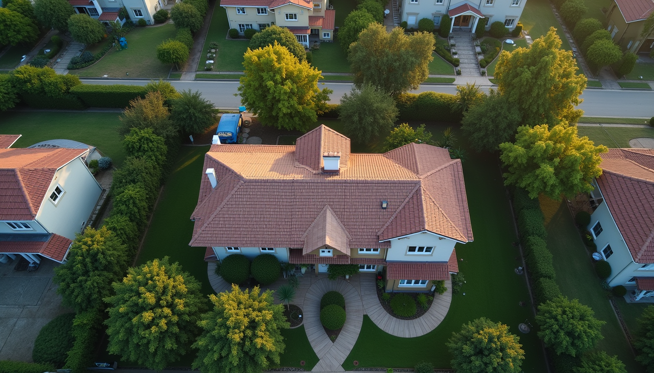
High-resolution aerial imagery — Updated multiple times per year for most US properties. AI processes the imagery to detect existing structures, driveways, hardscape, trees, and other site features automatically. InQI maintains access to historical imagery as well — useful for seeing how a property has changed over time.
Topographic data — Elevation and contour data for slope analysis, drainage planning, and grading assessments.
The Result: What You Actually Get
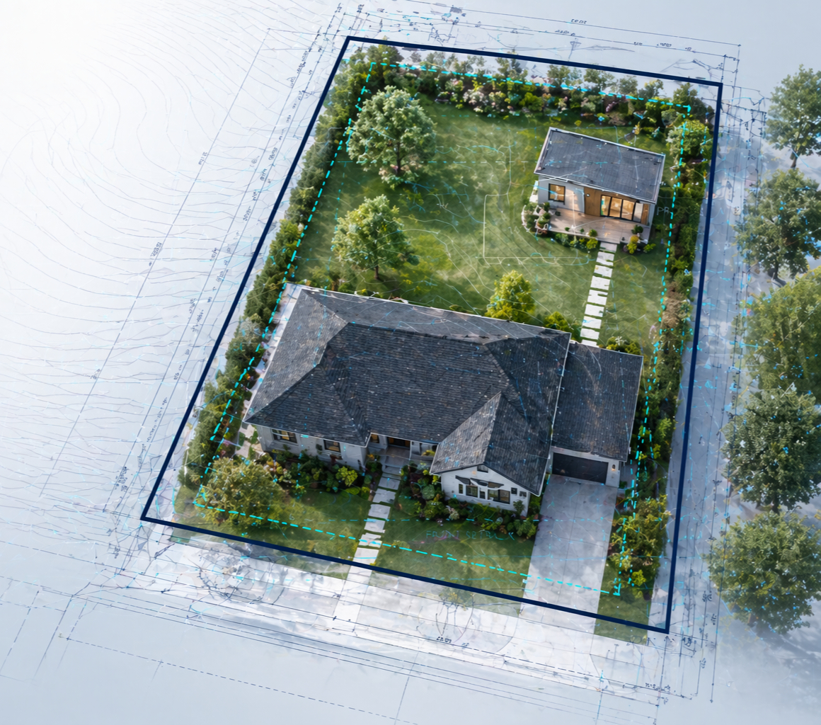
A scaled, overhead drawing that shows:
- Lot lines with dimensions
- Setback envelopes from local zoning
- Existing house footprint, garage, driveways, pool, decks, and detached structures
- Terrain contours and slope indicators
- North arrow and labeled scale bar
- Property address and APN
Everything is editable in the browser. Add a proposed structure. Label dimensions. Adjust elements. Export as PDF for a permit application, or DXF for CAD.
Know your property before you hire anyone.
Sign up for freeAccuracy
Many users report agreement with field measurements exceeding 90%. The foundation of InQI's accuracy is parcel data — the county's official record of the lot boundary. This is not satellite imagery interpretation of where the fence line appears to be. It's the legal parcel boundary from the assessor's database.
Use Cases
ADU placement — Visualize the best location for a detached or attached ADU while confirming it meets local setback requirements. Run it with Codes.IQ to check compliance before applying for a permit.
Pool and deck design — Find the optimal location that works with the existing site layout, respects setbacks, and meets safety distances.
Landscape planning — Understand the full property before laying out planting zones, irrigation, or hardscape improvements.
Permit preparation — Export a scaled PDF site plan with the proposed project added, ready for submittal.