Before you design anything — an addition, an ADU, a fence, a full new build — you need to know what your local building codes and zoning rules actually allow on that specific property. Codes vary by city, county, and sometimes by lot, so a rule that applied to your last project may not apply here.
What "Checking Building Codes" Actually Means
"Building codes" is a broad term that covers several distinct things:
- Zoning designation — what the property is zoned for and what uses are permitted
- Setback requirements — minimum distances from property lines for any structure
- Height and coverage limits — maximum building height and lot coverage percentage
- Building code requirements — structural, fire, accessibility, and energy standards
- Overlay and special districts — flood zones, historic districts, coastal zones, wildfire areas
Each of these layers is separate. You can have a legally zoned property with a clean setback that still fails a fire separation requirement.
How to Check Building Codes for Your Address, Step by Step
Step 1: Identify the property. You'll need the address or Assessor's Parcel Number (APN). The APN is the unique identifier your county uses for every parcel — it's on your property tax bill.
Step 2: Find the zoning designation. Most counties publish a zoning map via their GIS portal. Search "[county name] zoning map GIS" or "[city] zoning lookup."
Step 3: Pull the setback, height, and coverage rules. Once you have the zoning designation (e.g., R-1, A-2), look up that zone in the municipal code. Most cities host their municipal code on Municode.com.
Step 4: Check for overlay districts. FEMA flood maps (msc.fema.gov), historic district boundaries, coastal commission areas, and wildfire hazard zones all add separate requirements on top of base zoning.
Step 5: Check the adopted building code and local amendments. Most California jurisdictions adopt the CBC with local amendments. Texas follows the IBC with county-level variations. Always check local amendments — they can differ from the base code significantly.
This is exactly the manual process that Codes.IQ inside InQI automates. Enter your property address or APN, and InQI pulls zoning, setback, and parcel data automatically, then Codes.IQ layers in relevant code guidance in plain language.
IQ Agents handle the research. You handle the project.
Sign up for freeHow Architects and Builders Check Zoning Rules and Setbacks Automatically
For AEC professionals running this check across multiple projects, the manual method — GIS portal, zoning lookup, municipal code search, overlay check — takes 30–90 minutes per property. Multiply that across a pipeline of 10–20 active sites and it becomes a significant time sink.
The automated approach:
- Enter the address or APN into an AI property intelligence platform
- Pull parcel and zoning data automatically
- Cross-reference setback and coverage rules against the parcel's actual dimensions
- Flag potential compliance risks before a design is drawn
InQI's Codes.IQ is built around this workflow: address or APN in, code-relevant answers out, in plain language rather than ordinance-speak. It's one of several IQ Agents on the platform.
Setback Requirements: The Short Version
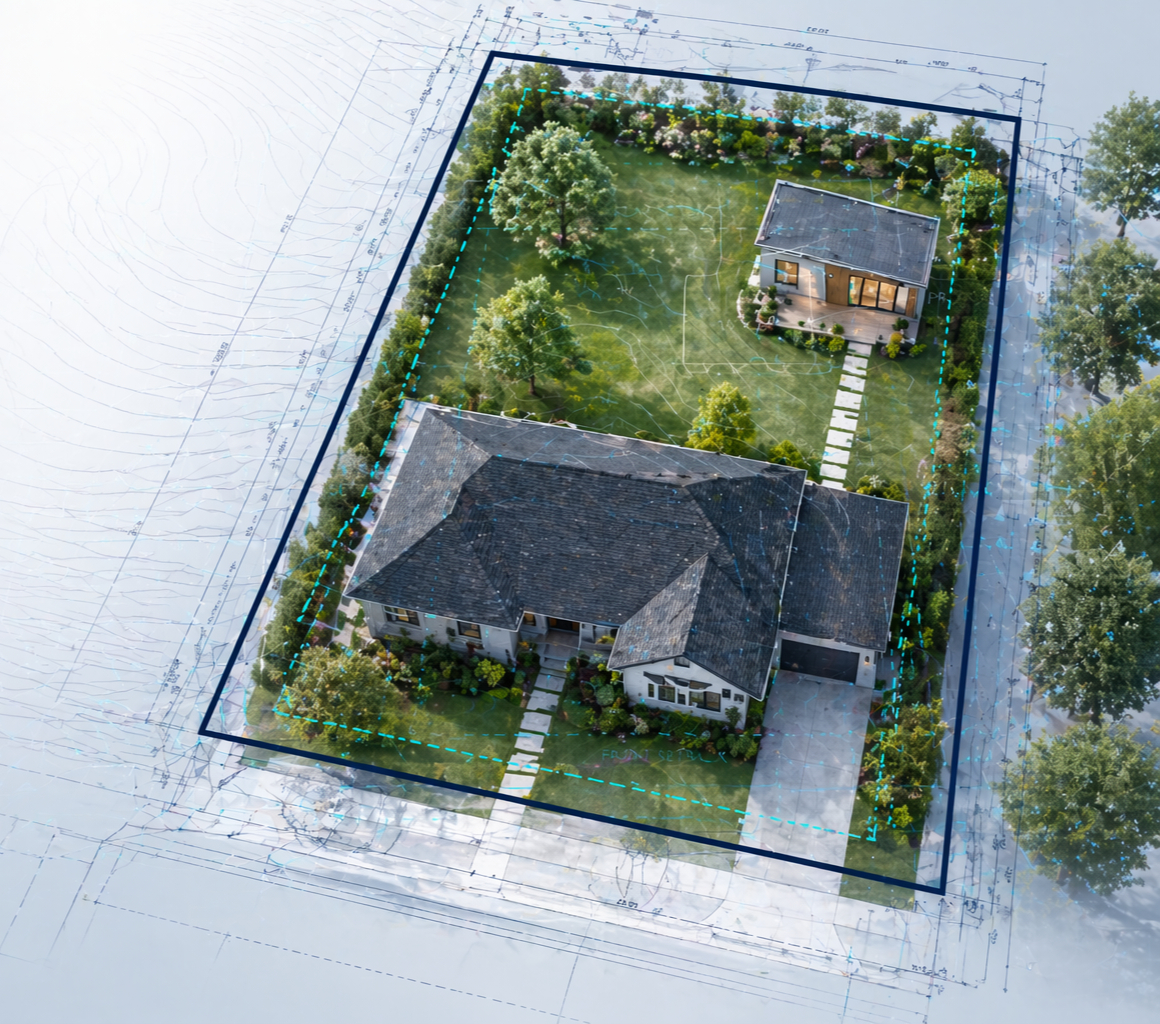
Setbacks set the minimum distance a structure must be from each property line. Front, rear, and side setbacks are typically different values. They're the single most common reason a proposed building footprint gets flagged during a code check.
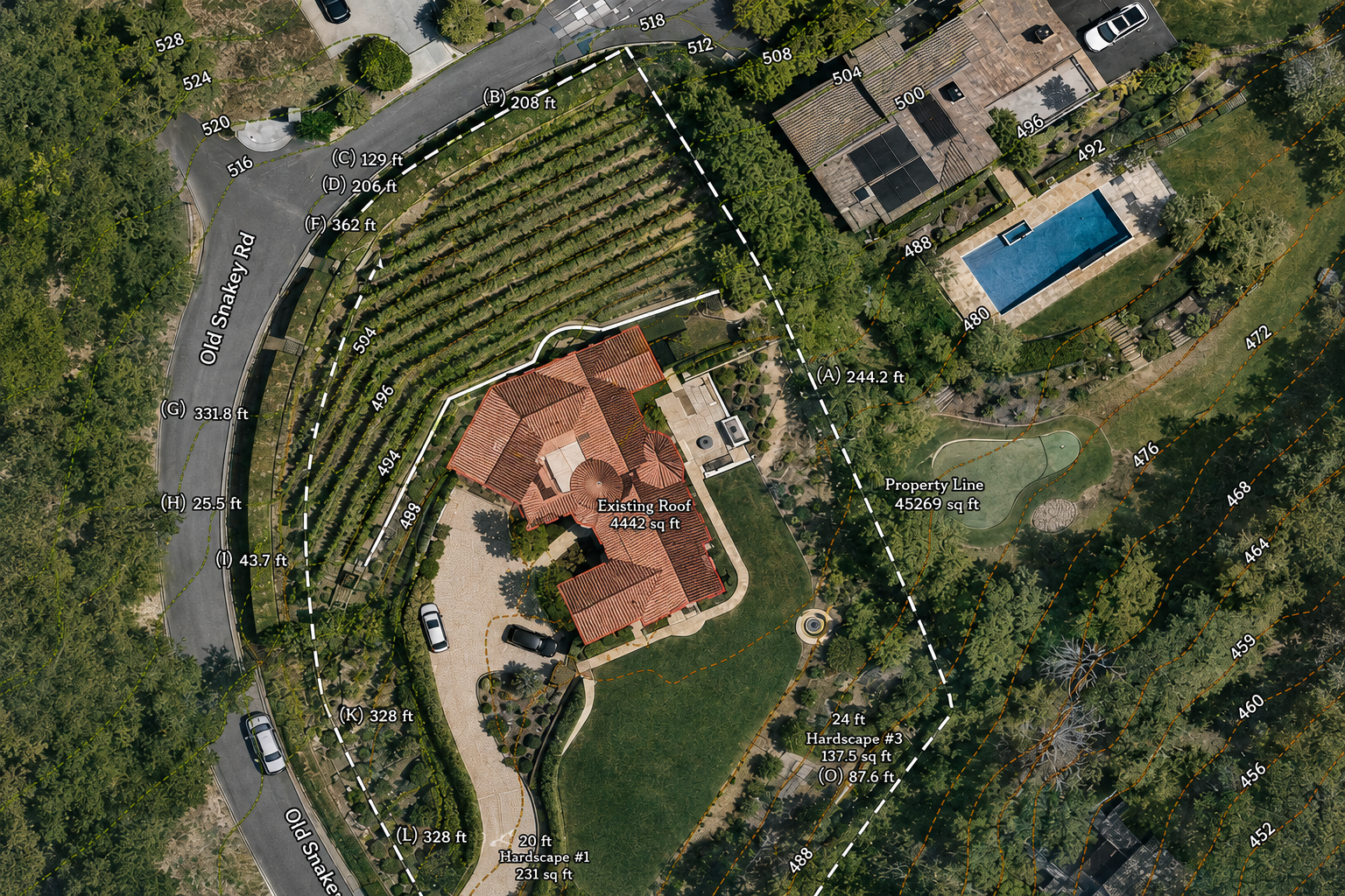
InQI's AI Site Plan Generator plots your parcel boundaries automatically so you can measure against actual lot lines — not estimated ones.
What Is InQI?
InQI (inqi.ai) is an AI platform for the AEC industry and homeowners that turns a property address or APN into usable site intelligence in under 60 seconds. Codes.IQ layers building code and zoning guidance on top. Pricing starts at $29/month.