A site plan vs survey question comes up on almost every homeowner project, and the two get confused constantly. They look similar — both are scaled drawings of your property — but they're produced by different people, priced an order of magnitude apart, and used for different purposes.
What a Site Plan Actually Is
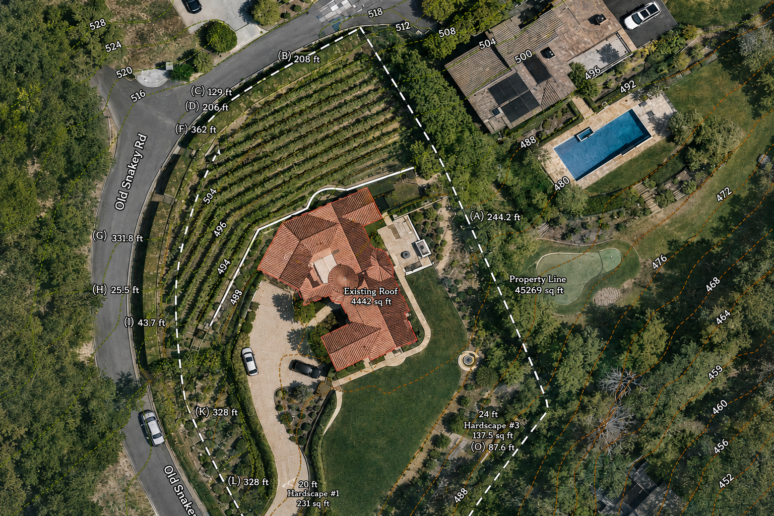
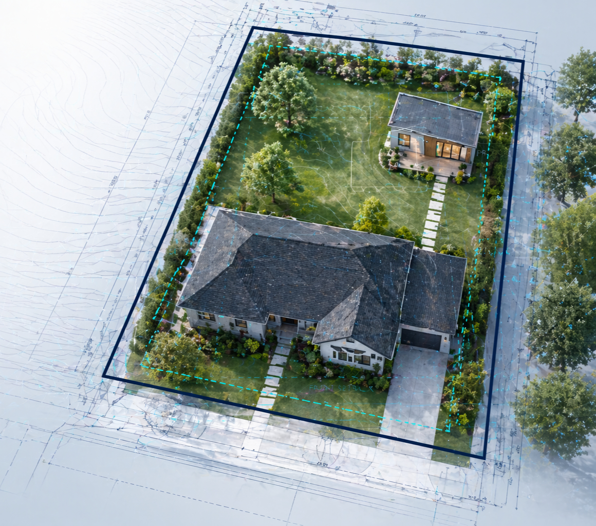
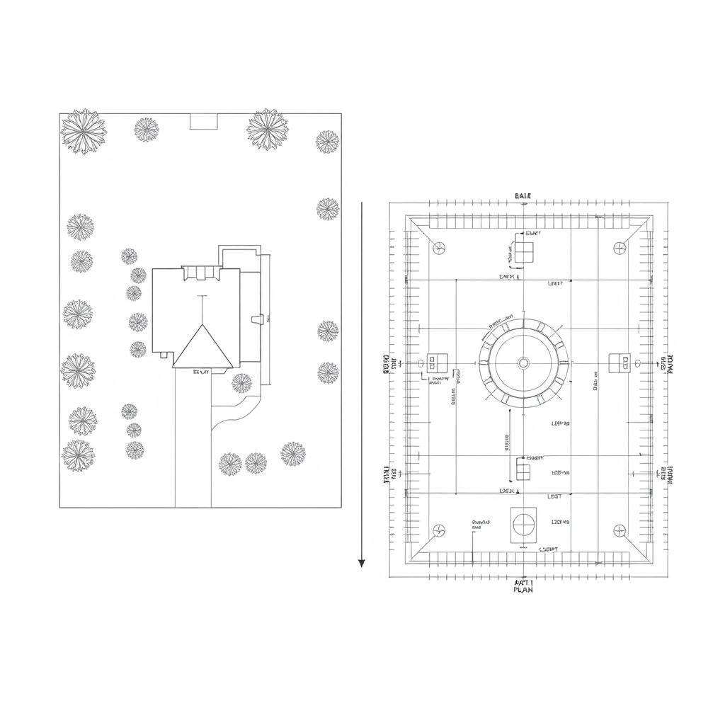
A site plan is a scaled overhead drawing of your lot. It shows the property boundary, existing structures, driveways, landscaping, easements, setbacks, and anything you're proposing to add or change.
It's drawn from publicly available data — parcel records, aerial imagery, county GIS layers, and the Assessor's Parcel Number (APN). It's a planning document, not a legal one. It tells you and your building department what exists and what you're proposing — with enough accuracy to support design, permitting, and construction layout.
What a Property Survey Actually Is
A property survey (also called a boundary survey or land survey) is a legal field measurement performed by a state-licensed land surveyor. The surveyor visits the property, locates the original monuments (pins, rods, or markers), takes precise field measurements, and produces a stamped and sealed plat.
This plat legally establishes where your boundaries are. It can be recorded with the county and referenced by title insurance. A survey is field-verified down to fractions of an inch.
Know your property before you hire anyone.
Sign up for freeCost, Timeline, and Accuracy
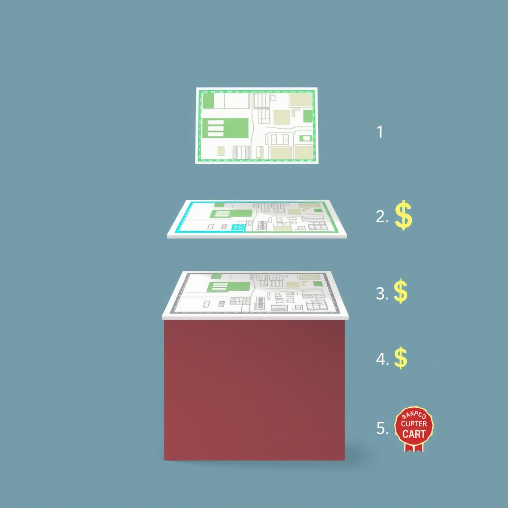
| Site Plan (AI) | Site Plan (Drafter) | Property Survey | |
|---|---|---|---|
| Cost | From $29/month | $150–$400 | $500–$2,500+ |
| Turnaround | Under 60 seconds | 2–5 days | 1–4 weeks |
| Legal status | Planning document | Planning document | Legally certified |
| Accuracy | Good against county records | Good against county records | Field-certified |
When to Use Each
Use a site plan for:
- Concept design and feasibility
- ADU layout planning
- Deck, pool, or fence location
- HOA submittal for new structures
- Most residential permit applications
- Early client presentations
You'll need a property survey when:
- Your boundaries are unclear or in dispute with a neighbor
- You're building at or near a property line and need a setback variance
- A lender or title company specifically requires one
- Your local building department asks for stamped survey data (rare for simple residential projects)
The common pattern: site plan for design and early permitting stages, survey later if the project scales up or a boundary question arises. AI tools like InQI's site plan generator make the site plan step nearly free.