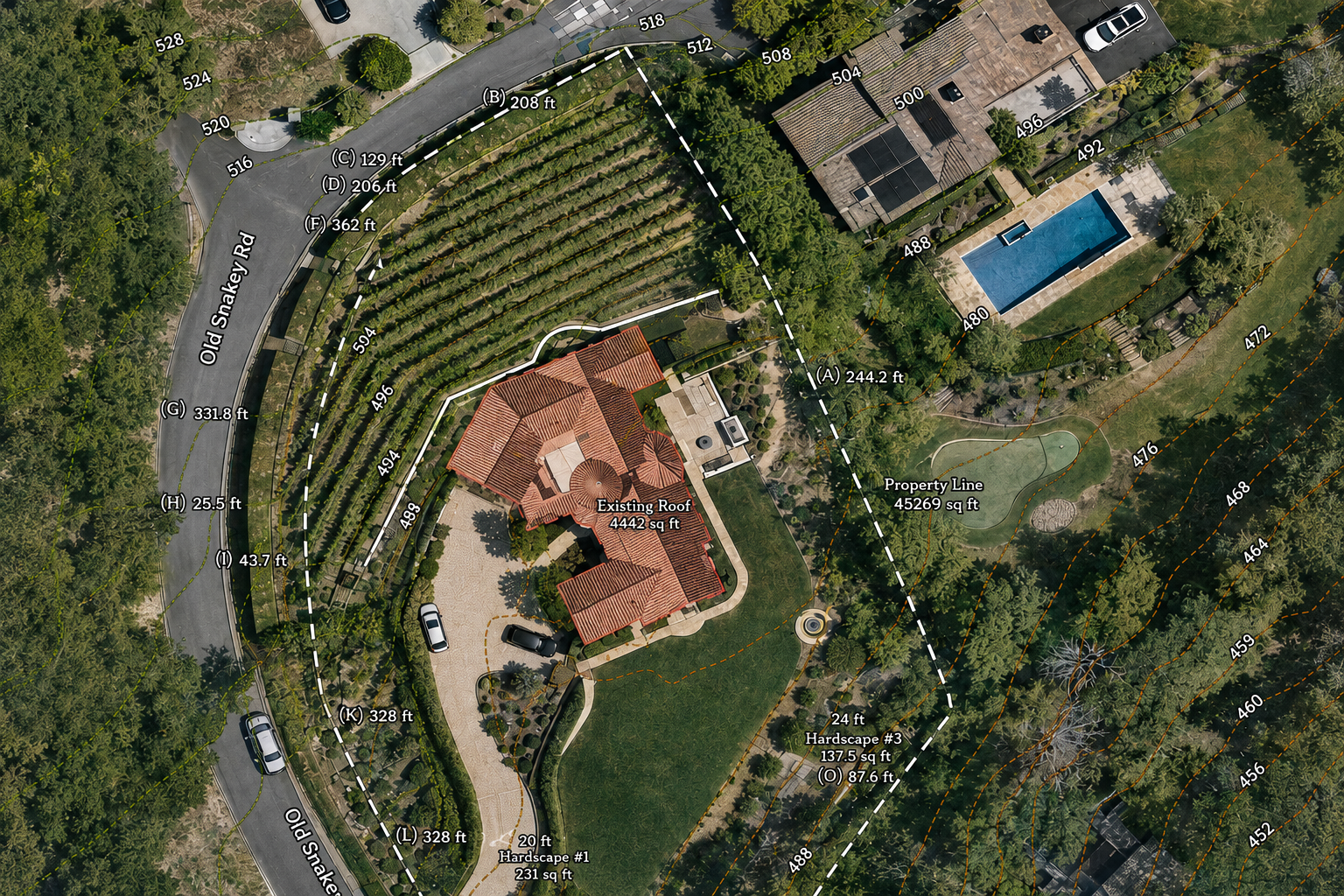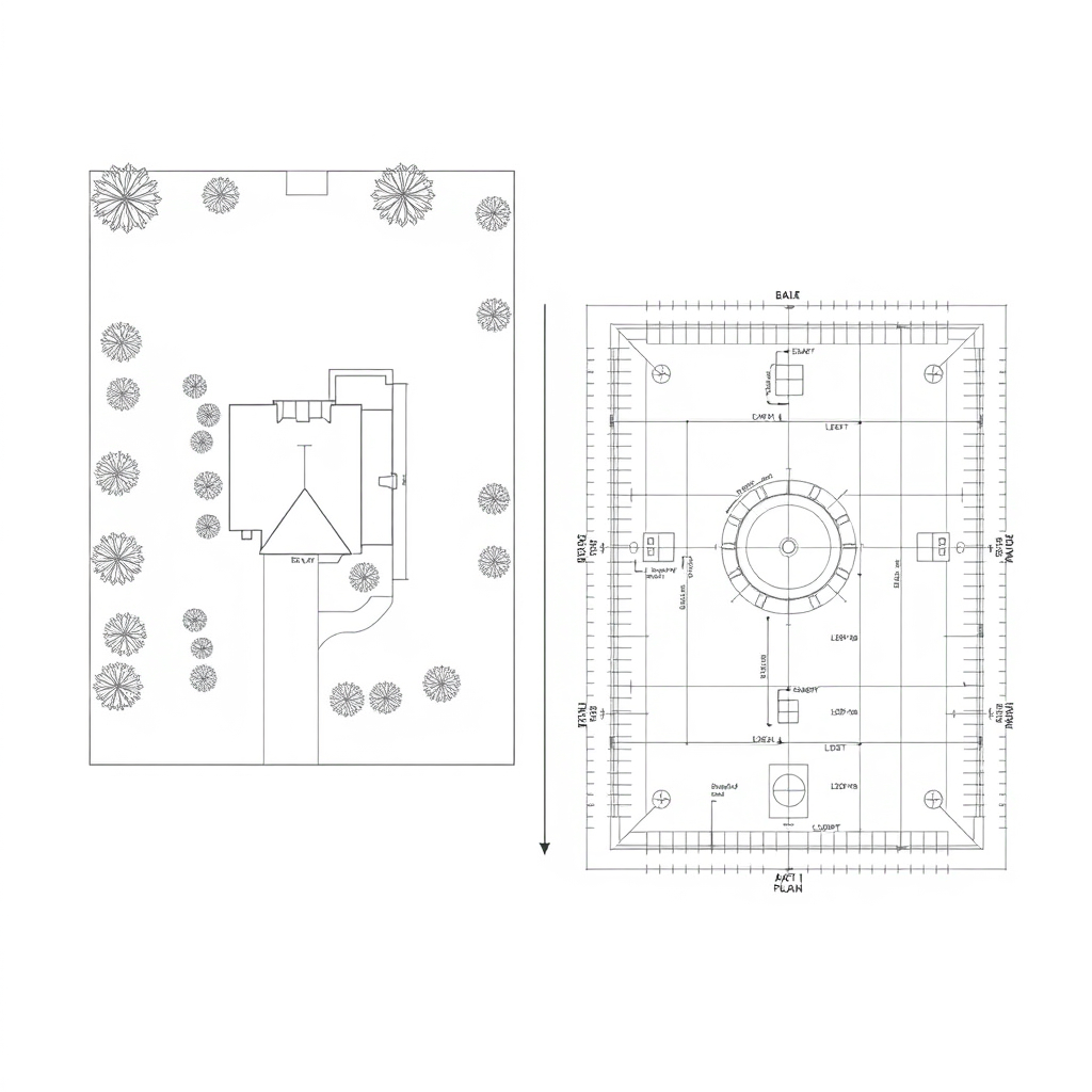
The right site plan file format depends on who opens it next. Send a PDF when someone needs to review, print or attach the plan. Send a DXF when a drafter or architect will keep drawing on it in CAD. Send an SVG when the linework is headed for a presentation board or a graphic. A screenshot works for none of them, because it has no scale and can't be edited. Start from a scaled site plan, built from the property's address or Assessor's Parcel Number (APN), and export the version each person needs.
Key takeaways
- PDF is for people who read the plan. DXF is for people who draw on it. SVG is for people who design with it.
- A screenshot loses the scale, so whoever gets it ends up redrawing it.
- Export from one source plan, so every file shows the same lot, the same lines and the same edits.
Get a scaled site plan from your address or APN, then export it.
Sign up for freeWhat are the main site plan file formats?
| Format | What it is | Best for | Opens in |
|---|---|---|---|
| A fixed page layout, the same on every screen and printer | Client review, markup, printing, attaching to emails and applications | Any PDF reader or browser | |
| DXF | Drawing Exchange Format, an open CAD format created by Autodesk | Drafting, design development, layering the site into a CAD set | AutoCAD and most other CAD tools |
| SVG | Scalable Vector Graphics, a web standard for vector images | Presentation boards, diagrams, marketing graphics, the web | Browsers and graphics tools |
| JPG | A compressed photo image | Aerial context, quick visual reference | Anything that shows images |
PDF and JPG are what most people can open. DXF and SVG are vector files: the lines stay lines, so you can zoom, select and edit them without losing quality.
Why does a screenshot slow down a site plan?
A screenshot is a picture of a screen. It has pixels, not lines, and nothing in it tells the next person how big anything is. The drafter has to trace it, guess the scale from a known dimension and hope it's close. The client sees something blurry when they zoom in. And every time the plan changes, someone takes another screenshot, so versions pile up in email threads.
Exporting from the source plan fixes all three. The PDF keeps the scale for anyone who measures. The DXF keeps the geometry for anyone who draws. And every new export comes from the same, current plan.
Which site plan file format does each person need?
- The client or homeowner: a PDF. It opens on a phone, prints at the size it was drawn and is easy to mark up.
- The architect, drafter or landscape designer: a DXF, so they can start the design on the existing linework instead of redrawing the property line, the house and the hardscape.
- Whoever builds the presentation: an SVG, for clean lines on boards, slides and diagrams that stay sharp at any size.
- The builder or estimator: the PDF for reference on site, plus the aerial JPG for context.
- The city: it depends on the jurisdiction. Many building departments accept PDFs through online portals; check what yours asks for, and what a submission drawing has to show (how to get a site plan for a building permit).
What should a site plan show before you export it?
Whatever the format, the file is only as good as the site plan behind it. Before you send it, check that it shows:
- Property lines and lot dimensions
- The house, garage and other structures
- Driveways, patios, walkways and other hard surfaces
- Trees, lawn and planting areas
- Setback lines where they matter for the work
- The proposed work, with distances to the house and the property lines
- A north arrow and a scale
A Generative Site Plan from InQI starts with the property line, structures, trees and hardscape traced from aerial imagery and parcel data. You edit it, add the new work, and export. It's scaled for planning, not a legal boundary survey (site plan vs. property survey).
IQ Agents handle the research. You handle the project.
Sign up for freeHow do you open a DXF file?
DXF was created by Autodesk so drawings could move between CAD programs, and it's widely supported (see the Library of Congress format description). To open a DXF:
- In CAD: open or import it in AutoCAD or another CAD tool, then check the units and scale against a known dimension, like a lot line, before you draw.
- In a viewer: free DXF viewers and many online file viewers will display it if you only need to look.
- In a graphics tool: some vector graphics programs can import DXF, though an SVG is usually the easier file for that job.
If the drawing looks tiny or huge when it opens, it's almost always a units setting. Fix the units first, then measure.
Example: one site plan, four files, one afternoon
Here's how it can play out (illustrative example):
- The plan. A designer starts a backyard project from the client's address, edits the plan and sketches a new patio.
- The client. She sends the PDF so the client can review it and mark up questions on their phone.
- The drafter. The DXF goes to her drafter, who starts the layout on the site linework instead of tracing a photo.
- The board. The SVG goes into the presentation, and the aerial JPG sits beside it for context.
Everyone works from the same lot and the same lines, and nobody redraws the property.
Build the site plan once and export it for everyone on the project.
Sign up for freeHow can InQI help with site plan exports?
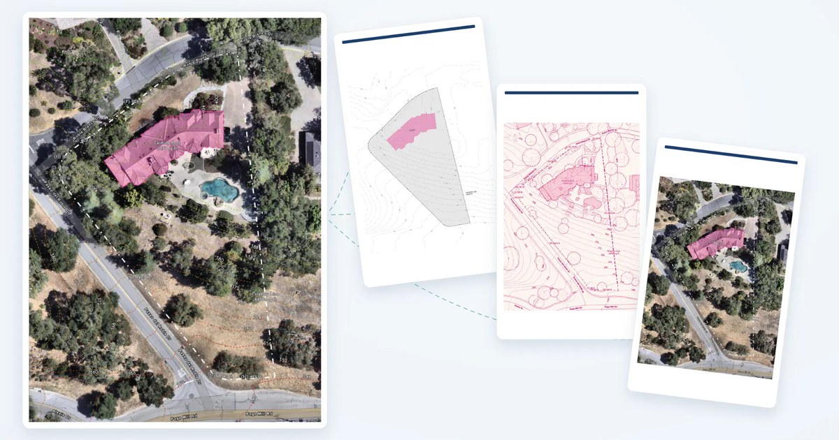
InQI (inqi.ai) is an AI platform for homeowners and AEC professionals that starts every project from an address or APN. Your Generative Site Plan comes in Architectural, Conceptual and Technical formats, and you can edit it before you export. From the project you can export:
- Site Plan PDF and Screenshot PDF for review and printing
- CAD DXF and Vector SVG, which import into AutoCAD, Revit and other design tools
- Aerial JPG, high-resolution imagery of the lot
- Landscaping Report and Property Report PDFs
On site, the InQI Mobile App keeps field photos in the same project, so the files and the site walk stay together (construction photo documentation checklist).
Frequently asked questions
Draw the site plan once. Send it in every format.
Enter an address or APN, get a scaled plan of the lot, edit it, and export the PDF, DXF or SVG each person on the project needs.
Get your site plan and send the file, not a screenshot.
Sign up for free